GIS Platform
Web platform with geolocation and interactive mapping capabilities for terrain planning, land acquisition, and regulatory boundary management through a Google Earth-style interface.
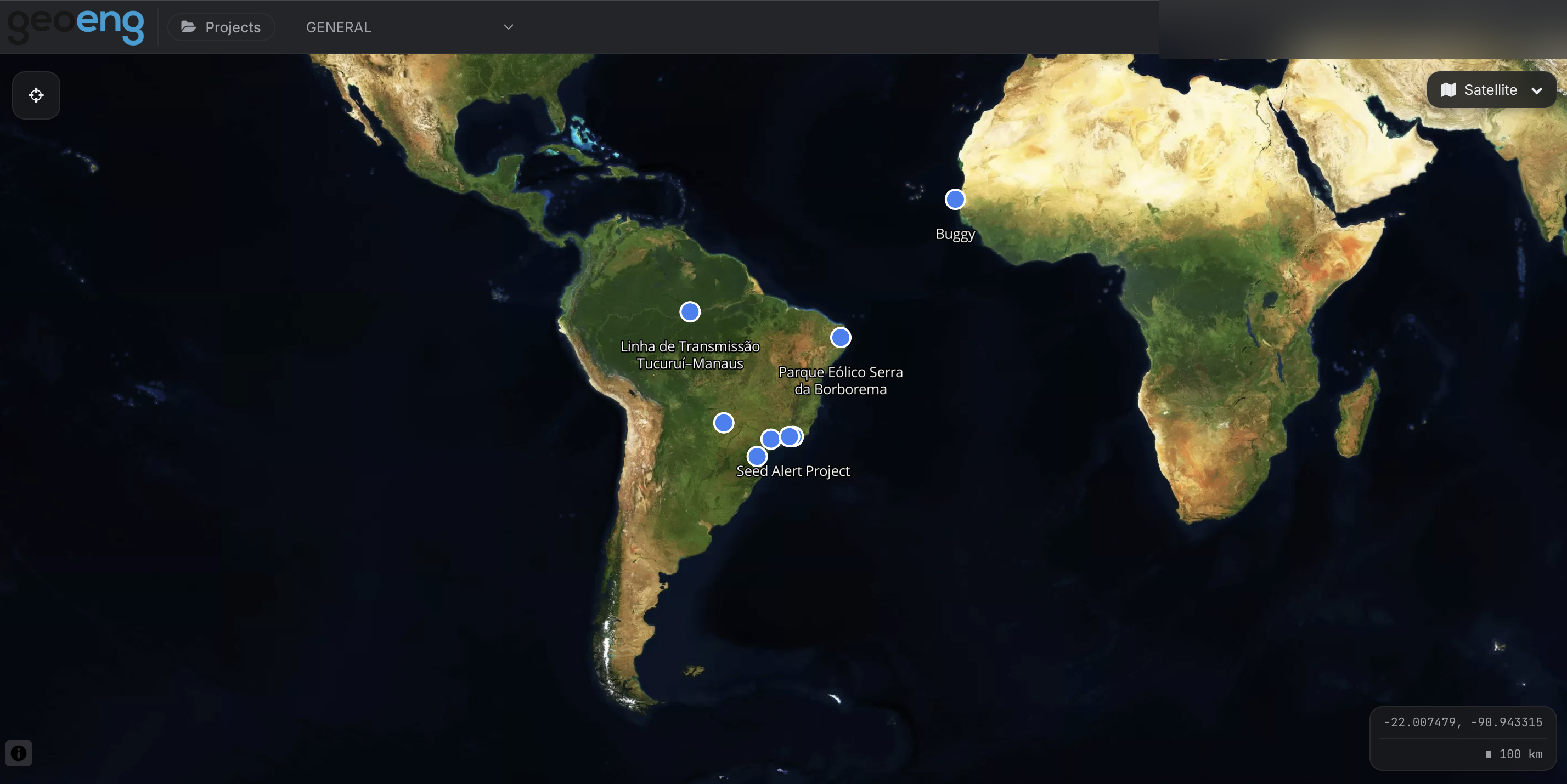
A geospatial platform for engineering and environmental work that maps each project against the regulatory boundaries constraining it. Parcels, buildings, and zoning districts are overlaid against legal limits — rights-of-way, conservation units, zoning envelopes — and PostGIS spatial queries flag where a geometry crosses a line it shouldn't, like a building inside a protected area. Reference layers pull in public GIS data from IBGE, ICMBio, and IPHAN. Built with Django, GeoDjango, and PostGIS behind a React and Mapbox front end, localized in English and Brazilian Portuguese.
Screenshots